Aerial map view showing a river bordered by green and light blue highlighted areas, indicating parks, protected land, and waterways winding through a mix of urban and rural landscapes. Aerial map view showing a river bordered by green and light blue highlighted areas, indicating parks, protected land, and waterways winding through a mix of urban and rural landscapes.
Prev Next
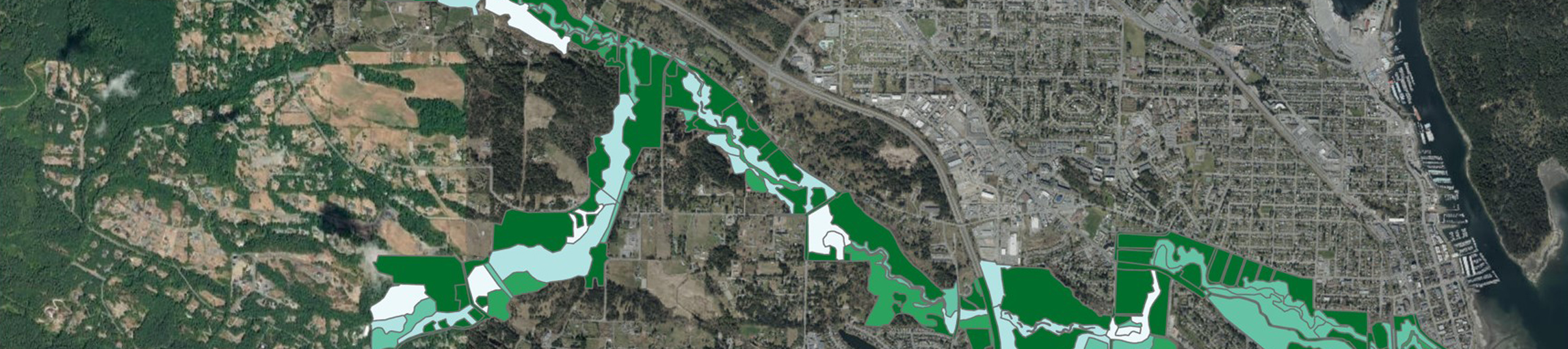
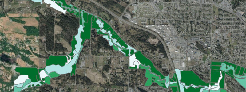
The Regional Riparian Spatial Analysis for Restoration Prioritization project assessed the riparian condition of 47 waterways across the Regional District of Nanaimo (RDN).
Sector: Municipal
Client: Regional District of Nanaimo
Location: Nanaimo, BC

Involvement

The Regional District required an environmental consulting partner in BC to identify and prioritize areas for habitat restoration. McTavish completed a detailed spatial analysis to guide restoration planning and decision-making, supporting long-term ecosystem health and management.

Project Overview

The spatial analysis was based on a prioritization scheme that considered eight parameters associated with habitat health, including:

  • Disturbance
  • Zones of concern
  • Vegetation cover
  • Terrestrial habitat cover and continuity
  • Vegetation complexity and structural diversity
  • Soil parent material and texture
  • Water quality
  • Climate

Deliverables

  • Spatial analysis and interactive map tool to visualize restoration priorities
  • Comprehensive technical report defining methods used and overall results

Further detail on this project can be found on the RDN website.

An aerial map shows a long, winding area marked with tan and brown sections, indicating land parcels. An inset map in the top right displays the region’s location along a coastline in a larger geographic context. Map showing rivers and creeks flowing north from central Vancouver Island into the Strait of Georgia. The waterways are labeled, and surrounding areas include Port Alberni and Ladysmith. Elevation is illustrated with shaded relief. A satellite map of an urban area with winding green and light green shaded regions highlighting parks or natural areas running through the city and surrounding landscapes. A map showing a coastal area with various regions highlighted in green, brown, red, and blue, indicating different land or habitat types along rivers and the shoreline. Blue lines represent rivers flowing towards the coast.
A satellite map of an urban area with winding green and light green shaded regions highlighting parks or natural areas running through the city and surrounding landscapes.
Map showing rivers and creeks flowing north from central Vancouver Island into the Strait of Georgia. The waterways are labeled, and surrounding areas include Port Alberni and Ladysmith. Elevation is illustrated with shaded relief.
An aerial map shows a long, winding area marked with tan and brown sections, indicating land parcels. An inset map in the top right displays the region’s location along a coastline in a larger geographic context.

Want to learn more about this project? Have questions about a project of your own?

Contact Us Today